Vancouver weather: More snowfall expected Sunday evening
Credit to Author: Stephanie Ip| Date: Sun, 12 Jan 2020 16:21:58 +0000
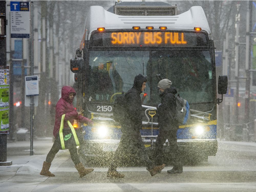
VANCOUVER, B.C.: Jan. 12, 2020 – Sunday’s weather will bring snow and icy roads but it’s just a hint of what’s to come this week.
Keep your cars gassed and be sure to drive carefully, as more snow is expected throughout the week, including a drop in temperatures around Tuesday.
As of Sunday morning, there was also a snowfall warning in effect for Metro Vancouver, from Vancouver across to Maple Ridge and from the North Shore down to New Westminster.
The warning forecast up to 20 centimetres of snow by the afternoon in various parts, due to a low pressure system that continues across the south coast early Sunday. Some of it will be slushy but it builds a base for more snow forecast later in this week.
Today: Periods of wet snow ending around noon, then cloudy with 30 per cent chance of rain. Flurries at higher terrain. Snowfall up to 4 centimetres expected. Winds in the afternoon.
Tonight: Flurries ending around midnight, then cloudy with 60 per cent chance of flurries, up to 5 centimetres.
Tomorrow: Cloudy, wind up to 15 km/h. Wind chill near minus 10.
Source: Environment Canada
Zoom in and out to find incidents of note or to peek at a traffic camera.